 Managing miles of county roads and dozens of bridges is a monumental task for any county or city. Traditionally, deciding which road gets paved next was often a game of “who called the office most.”
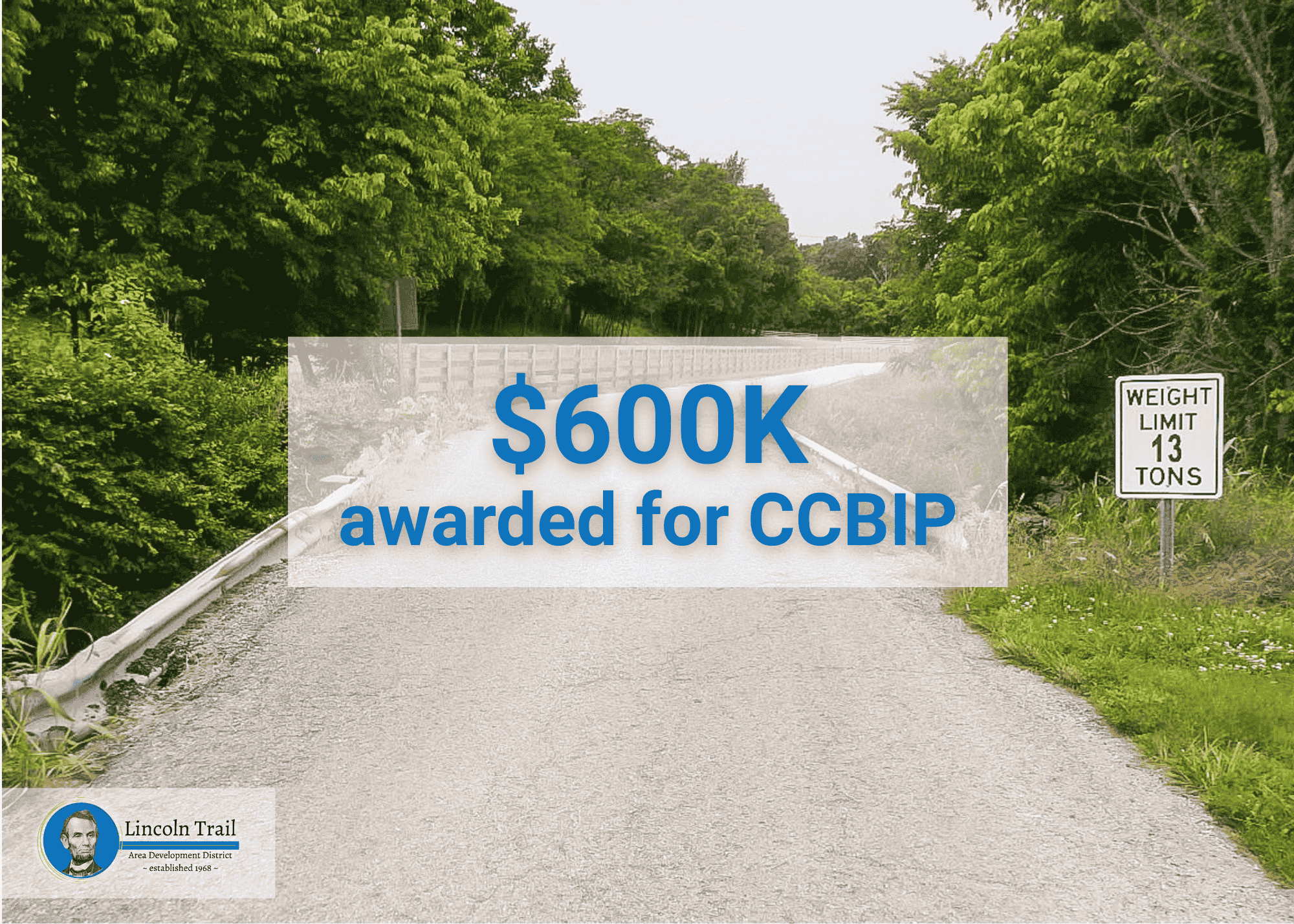
Today, Kentucky counties are shifting toward a more transparent, data-driven approach to ensure every dollar spent on infrastructure has the maximum impact through LTADD CAPE’s Pavement Condition Rating System that turns technical data into actionable plans for local officials interested in the City County Bridge Improvement Program.
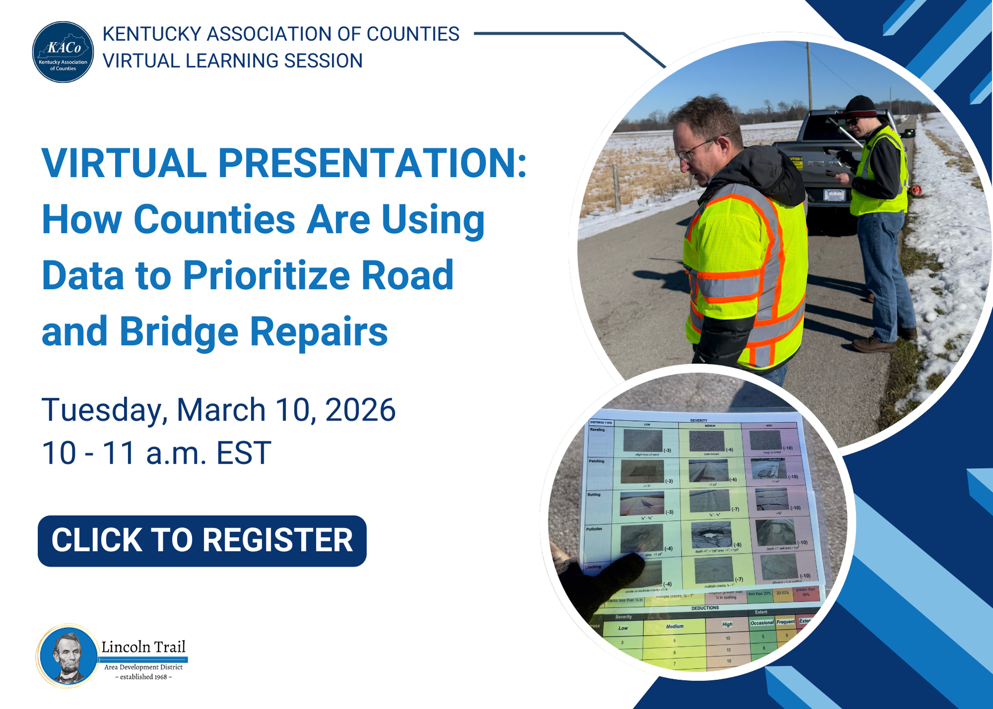
To allow government officials to learn how this program can work for them, Engineering Director Charlie Allen and GIS Specialist Ava Oljeski of our CAPE Team are hosting a free virtual session through Kentucky Association of Counties (KACo) to dive deeper into these strategies.
By utilizing advanced tools like ESRI’s Field Maps and ArcGIS, LTADD’s CAPE team is hitting the road to document reality. Instead of relying on guesswork, they collect specific field data on:
- Pavement distress: Mapping out cracking and rutting
- Road hazards: Identifying potholes and drainage issues
- Standardized Scoring: Assigning every segment of road a condition score to remove bias from the process
This quantitative approach does more than just find holes in the road, it builds trust. When road conditions are visualized on a GIS-based dashboard, county and city officials can see exactly where the highest needs are.
This level of detail supports:
- Cost Analysis: Accurately predicting the budget needed for long-term repairs
- Strategic Planning: Moving from “reactive” patching to “proactive” resurfacing
- Funding Success: This same data is used in the City County Bridge Improvement Program, helping counties secure the funding necessary to keep bridges safe and open
Click here to register to learn how road dollars can better serve your city or county.
Don’t miss out on seeing how data is paving the way for better Kentucky infrastructure. Register to secure your spot.